Coastal zones are dynamic and vulnerable environments subject to the impacts of climate change, sea level rise, and extreme weather events. Meteorological stations equipped with specialized weather station instruments play a crucial role in monitoring coastal weather conditions, sea level variations, and storm surges necessary for coastal zone management. This article explores the significance of weather instruments in coastal zone management and their contribution to protecting coastal communities, ecosystems, and infrastructure from coastal hazards.
Monitoring Coastal Weather Conditions
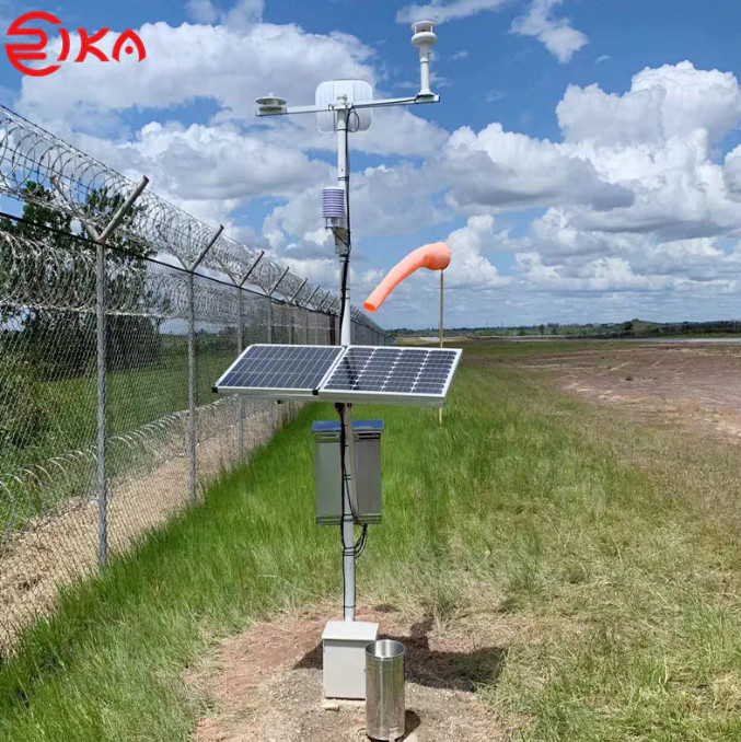
Coastal weather conditions, including wind speed, wave height, and atmospheric pressure, influence coastal processes such as erosion, sediment transport, and storm surge formation. Weather station instruments provide real-time data on coastal weather parameters, enabling meteorologists and oceanographers to monitor coastal storms, assess wave climate, and predict storm impacts on coastal areas. Anemometers, wave buoys, and barometers installed at meteorological stations and coastal monitoring sites collect weather data essential for issuing coastal weather advisories, warning mariners, and preparing coastal communities for severe weather events.
Tracking Sea Level Variations
Sea level rise is a significant threat to coastal communities and ecosystems, exacerbating coastal erosion, flooding, and saltwater intrusion into coastal aquifers. weather instruments help track sea level variations by measuring tide levels, storm surges, and coastal inundation events. Tide gauges, water level sensors, and satellite altimeters installed at meteorological stations and coastal observatories provide data for monitoring long-term sea level trends, assessing coastal vulnerability, and developing adaptation strategies to mitigate sea level rise impacts. By integrating sea level data into coastal planning and management efforts, authorities can implement measures to protect coastal infrastructure, habitats, and communities from the effects of rising seas.
Predicting Storm Surges and Coastal Flooding
Storm surges, caused by low-pressure systems, tropical cyclones, and strong onshore winds, pose significant risks to coastal communities, infrastructure, and ecosystems. Weather instruments help predict storm surges and coastal flooding by monitoring atmospheric conditions, wave dynamics, and water levels in coastal areas. Barometers, wave sensors, and tide gauges installed at meteorological stations and coastal monitoring stations provide real-time data for forecasting storm surge heights, wave run-up, and coastal inundation extents. By integrating storm surge forecasts with coastal flood maps and evacuation plans, authorities can improve preparedness, response, and resilience to coastal hazards.
Assessing Coastal Erosion and Sediment Transport
Coastal erosion is a natural process exacerbated by human activities such as coastal development, sand mining, and climate change. Weather instruments help assess coastal erosion rates, sediment transport patterns, and shoreline changes over time. Wind sensors, current meters, and sediment traps installed at meteorological station and coastal research sites collect data for studying coastal dynamics, beach morphology, and sediment budgets. By monitoring erosion hotspots and sediment transport pathways, coastal managers can implement measures such as beach nourishment, dune restoration, and shoreline stabilization to protect coastal assets and habitats from erosion impacts.
Conclusion
In conclusion, weather instruments are essential for coastal zone management, providing critical data for monitoring coastal weather conditions, tracking sea level variations, predicting storm surges, and assessing coastal erosion. Meteorological stations equipped with specialized sensors enable authorities, researchers, and coastal communities to understand the dynamics of coastal processes, anticipate coastal hazards, and implement measures to enhance coastal resilience and sustainability. By harnessing the power of weather station instruments and integrating weather data into coastal planning and management strategies, we can protect coastal communities, preserve coastal ecosystems, and build more resilient coastal infrastructure in the face of climate change and sea level rise.